Exploring Kenya in 2026 requires a detailed map that reveals its many facets. From the capital Nairobi located at more than 1700 meters above sea level and close to the equator, to the vast wilderness of the national parks, the country offers a rich and diverse topography, essential for the traveler eager for nature and culture. Understanding the geography of Kenya through its regions not only facilitates orientation but also enriches tourism by opening doors to often unknown areas.
Geographical discovery of Kenya: A detailed map for each region
Kenya, at the crossroads of East Africa, covers more than 582,000 km², bordered by the Indian Ocean and five neighboring countries. Exploration is immediately captivating upon landing in Nairobi, which is at a notable altitude and offers a unique climate. The detailed map of the country highlights its varied regions: from the coral coastline and its pristine beaches to the mountain ranges of Mount Kenya and neighboring Kilimanjaro. These reliefs influence local life, biodiversity and the tourist routes offered. Thanks to this advanced mapping, travelers can precisely plan their adventures, whether hiking, safaris or seaside stays.

National parks and nature reserves, jewels of Kenyan biodiversity
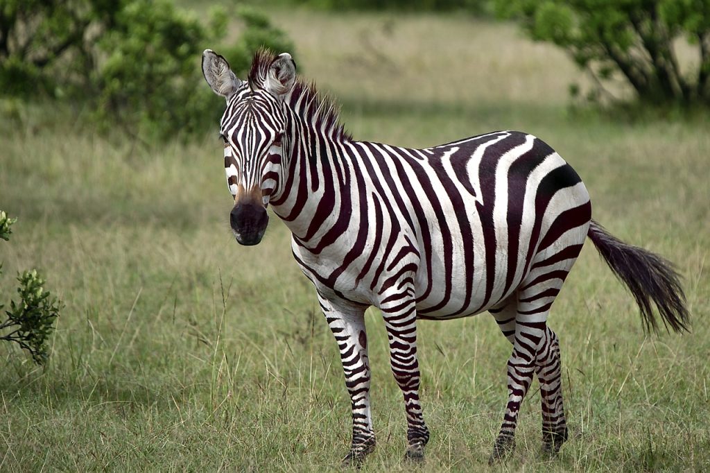
Kenyan wildlife wealth is illustrated on a map which includes more than 50 parks and reserves, where the majority of the Big Five coexist. Among them, the Masai Mara reserve, emblematic for its abundant wildlife and its vast plains, and the Amboseli park, offering a spectacular view of Kilimanjaro. These protected areas appear clearly on the detailed map, making it easier to organize safaris to experience authentic wildlife scenes. The cartographic approach also includes less frequented places like Meru or Marsabit, which promise off-the-beaten-track experiences and immersion in the heart of African nature. Thanks to these tools, explorers can discover a topography mixing alkaline lakes, savannahs and volcanic massifs.
Explore the great migration and natural phenomena through cartography
The detailed map of Kenya is not limited to national borders. It also includes the impressive migratory flows that unite Tanzania and Kenya each year. The great wildebeest and zebra migration is a spectacular event that crosses the Serengeti region to the Masai Mara, attracting thousands of visitors and wildlife photographers. Mapping these dynamic paths is essential to anticipate the best observation times and understand the influence of rain and seasons on animal movements. This living dimension of Kenyan geography offers a unique perspective on the interactions between nature and climate.
The role of lakes and the Great Rift in the topography of Kenya
A detailed map of the country also highlights the Great Rift Valley which crosses Kenya from south to north, shaping the landscape with its alkaline lakes like Nakuru or Bogoria. These lakes are vital ecosystems, supporting a huge population of flamingos and other aquatic species. Understanding this topography not only allows tourists to better orient themselves, but also to understand the environmental importance of the swampy and volcanic areas in the heart of East Africa. The journey then takes on its full meaning, combining natural discoveries and explanations on the geological formation of the continent.
The cities of Kenya: from Nairobi to Mombasa, a map for navigating between culture and modernity
The cartography of Kenya also includes its large cities, essential to the tourist and cultural journey. Nairobi, a dynamic metropolis and capital, extends to an altitude of more than 2000 meters with nearly 8 million inhabitants. The urban plan highlights not only its tourist points of interest but also social realities such as the Kibera slum. Further south, Mombasa offers another side of Kenya with its port on the Indian Ocean and its heavenly beaches. Detailed maps that combine relief, roads and infrastructure offer a valuable tool for navigating between these two contrasting worlds, at the crossroads of traditional and modernized Africa.