South Africa, located at the southern tip of the African continent, is a country of great geographical and cultural wealth. Its diversity is reflected in the detailed map which reveals a mosaic of landscapes, climates and populations. To fully understand the complexity of this territory in 2026, it is crucial to explore its regions, relief, population density, as well as the main cities and natural areas that define it.
Exploring the detailed map and topography of South Africa
South Africa’s topography is remarkably varied. The country covers an area of more than 1.2 million square kilometers, a territory shaped by high plateaus, mountain ranges such as the Drakensbergs, and semi-desert areas such as the Karoo. The map also reveals the presence of large areas of savannah, as well as the steep and snow-covered mountains. This altitudinal diversity shapes climates ranging from Mediterranean in the southwest, to subtropical in the east, to semi-arid in the heart of the country.

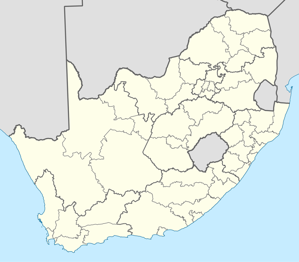
Regions and provinces: an organization necessary for territorial management
South Africa is divided into nine distinct provinces, each with its own geographic and demographic characteristics. Gauteng, the most populous province, concentrates economic and urban activity around Johannesburg and Pretoria. In contrast, the Northern Cape, vast and sparsely populated, is characterized by desert landscapes inherent to the Kalahari. This regional segmentation is visible on the administrative map, which is used for local development policies. Understanding this distribution is essential for anyone wishing to understand the management of natural resources and the country’s territorial policy.
Population density and main cities: where are South Africans concentrated?
According to 2024 demographic data, the South African population exceeds 64 million inhabitants, largely urbanized with nearly 70% city dwellers. The average density is around 52 inhabitants per square kilometer, but it varies greatly between provinces. Johannesburg, the economic metropolis, and Cape Town, the legislative and cultural center, form the most dynamic urban centers. Durban, for its part, stands out for its major port and its cultural wealth. These cities embody centers of growth, opportunities and social contradictions linked in particular to their rapid urbanization.
A contrasting climate in the heart of South African natural areas
The climate map of South Africa shows great diversity. The southwest enjoys a Mediterranean climate characterized by hot, dry summers and mild, wet winters, ideal for the vineyards of the Western Cape. To the east, subtropical regions adjoin the coast with generous rainfall, particularly near Durban. The interior is subject to a drier and continental climate, with hot summers reaching 38°C during heatwaves. This climatic variety greatly influences the distribution of natural zones, from subtropical forests to savannahs, including deserts and high plateaus.
A geography that shapes national identity and social dynamics
Beyond its physical and climatic geography, the detailed map of South Africa also illustrates human spaces, revealing the complexity of the country’s cultural mosaic. With eleven official languages and a population distributed among different communities, the demographic map highlights the varying densities and the importance of main cities in economic and social integration. The national flag, a unifying symbol, evokes this diversity through its colors, reflecting a multiracial nation in search of unity.
To discover more about the beauties and challenges of this fascinating country, you can also consult practical resources and travel tips to explore South Africa in the best conditions.