Located in the heart of North Africa, Libya extends over a vast area of more than 1.7 million square kilometers. This country rich in history inherits a unique geography where the Mediterranean borders its coasts to the north, while the Sahara extends into its interior, shaping a landscape marked by striking contrasts.
Explore the geography of Libya through its detailed map
The map of Libya allows us to understand its unique situation between sea and desert. Bordered by six countries – Tunisia, Algeria, Niger, Chad, Sudan and Egypt – this territory demonstrates a diversity of landscapes, ranging from arid plains to isolated mountains. The relief, structured into three large regions, reflects these nuances: Tripolitania to the west, Cyrenaica to the east, and Fezzan to the south. Each of these regions has its own topographical and climatic particularities, offering a complete panorama of Libyan natural diversity.

Tripoli and Benghazi: major urban centers on the Libyan map
On the northern coast, the cities of Tripoli and Benghazi stand out as essential urban centers. Tripoli, the country’s capital, stands out not only as a political center but also as a cultural and economic point of convergence, with its modern infrastructure on the edge of the Mediterranean. To the east, Benghazi embodies the second largest metropolis, playing a crucial role in the commercial life of Cyrenaica. These cities illustrate the significant urban concentration, which today represents more than 80% of the country’s population, in strategic and fertile coastal areas.
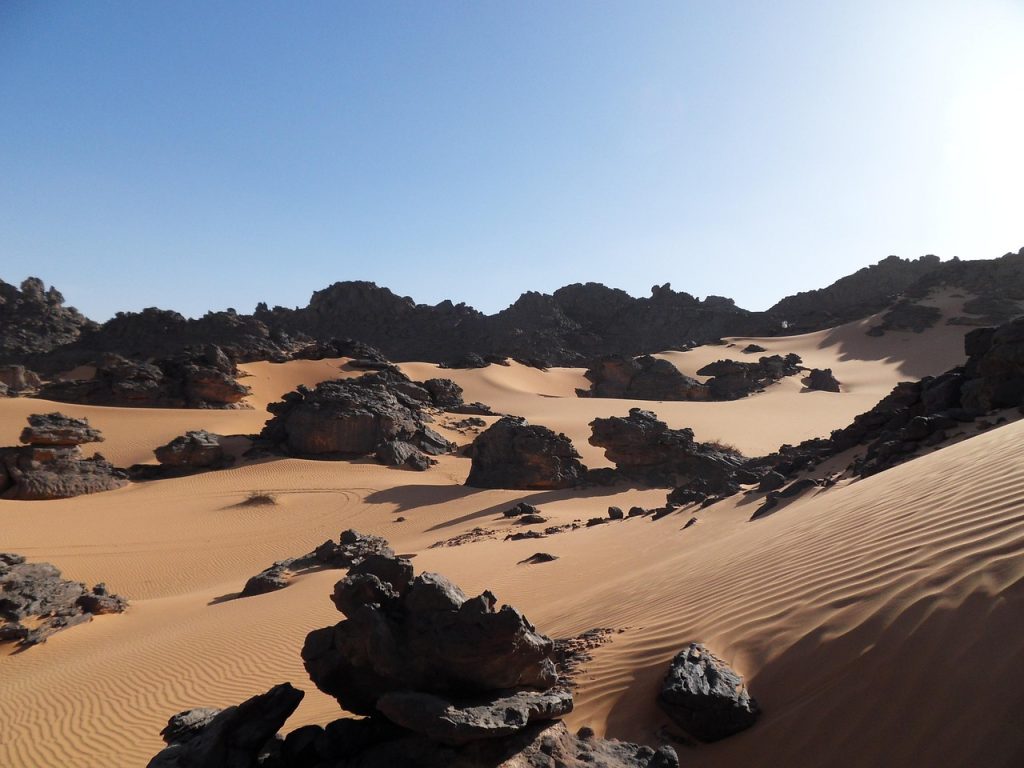
The strong contrasts between desert and coastal areas on Libyan territory
Nearly 90% of Libya is covered by desert, including the Sahara, one of the largest hot deserts in the world. This arid immensity is punctuated by oases where date palms, olive trees and orange trees grow, testifying to human and natural resilience in the face of extreme conditions. The Libyan desert, which encompasses a large part of Fezzan and extends to the east, imposes a difficult living environment and shapes the traditional lifestyles of nomadic and sedentary populations.
In contrast, coastal regions benefit from a mild Mediterranean climate, characterized by hot, dry summers and mild winters with limited precipitation, never exceeding 400 mm per year. These favorable conditions explain the concentration of arable land on the coast, where traditional agriculture remains an economic pillar despite climatic challenges.
Relief and topography: between mountains and arid plains
Libya’s topography reveals surprises as arid plains dominate the east and south, spreading out as vast seas of sand. To the north, the terrain rises, with altitudes oscillating between 500 and 900 meters. In these higher areas, intermittent watercourses – often dry wadis – trace a natural network marked by seasonal changes. In particular, the Tibesti massif offers a remarkable altitude, slightly overflowing into Chadian territory and offering a variety of relief unique in this region of the Sahara.
These physical elements condition human settlements and traditional activities, between nomadism in the heart of the desert and commercial activities in the oases and coastal towns.