Exploring Zimbabwe through a comprehensive map offers an exceptional immersion into the diversity of its geography and history. In 2026, the country continues to attract with its varied landscapes, its large vibrant cities and its emblematic natural sites. From Harare to Bulawayo, passing through the vast rural expanses and its distinct borders, each region reveals reliefs, waterways and roads that invite discovery.
Detailed map of Zimbabwe: understanding its geography and topography
Zimbabwe is characterized by a rich and contrasting topography, where high plateaus, river valleys and mountains alternate. Among the most notable landforms, the Eastern Highlands to the southeast mark a natural border with Mozambique, offering spectacular panoramas and a more temperate climate. The map of Zimbabwe also reveals a dense hydrographic network, dominated by the Zambezi and Limpopo rivers, which shape the landscape and influence cultivable areas.
This topographical diversity is reflected in the country’s climatic conditions, which vary according to altitude and region. The relief directly influences lifestyles and infrastructure, particularly on the distribution of roads connecting urban areas such as Harare, the capital and economic center, to more isolated localities. Precise knowledge of this geography is essential to understand the local dynamics and tourism potential of Zimbabwe.

Main cities and their strategic location on the map
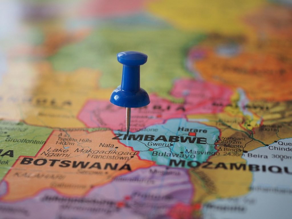
Harare, located in the northeast, is the administrative and commercial heart of Zimbabwe. Its geographical positioning on a vast high plain facilitates access to major road infrastructure, connecting the capital to other large cities and neighboring countries. Bulawayo, the country’s second largest city in the southwest, is a historic industrial center located near the andesitic hills, providing a contrast with the flatter topography of Harare.
Other important towns like Mutare, Chipinge, or Gweru are located at nerve centers that facilitate trade and access to natural resources. These localities, visible on a detailed map, reflect the territorial organization of Zimbabwe where urbanization is based on geographical resources.
Road network and essential connections shown on the map of Zimbabwe
The Zimbabwean road network is deployed across the country by adapting to variable geographical conditions, mentioned in current maps. The main routes link Harare to Bulawayo via the A5 road, a vital corridor for the national economy. Other secondary roads serve rural areas, essential for the movement of goods and people, despite sometimes a state of deterioration linked to climatic and topographical constraints.
Transport corridors intertwine with once-thriving rail lines, which are now being rehabilitated to better support cross-border trade. The land borders with South Africa, Mozambique, Zambia and Botswana are strategically located, facilitating regional trade thanks to crossing points clearly identified on the map.
Natural and human borders: elements visible on maps of Zimbabwe
Zimbabwe’s borders combine natural relief and administrative boundaries. For example, the Limpopo River marks part of the southern border with South Africa, while Nyanga Mountain in the Eastern Highlands acts as a natural eastern barrier. These topographical features are essential for understanding not only regional geopolitics, but also demographic distribution and environmental issues.
The map also illustrates the distribution of protected areas and national parks, often located in border regions, demonstrating the desire to preserve biodiversity while boosting tourism. Thus, Hwange National Park, famous for its wildlife, is a major point marked on all detailed tourist maps.
Discovery of major rivers and their influence on local geography
Zimbabwe’s river network is dense and vital to its agriculture, industry and natural habitats. The Zambezi River in the northwest forms a natural border with Zambia and is home to the impressive Victoria Falls, recognized as one of the world’s natural wonders. These waterfalls are both a tourist and ecological hotspot, naturally connecting two nations.
To the south, the Limpopo River sculpts the territory, creating alluvial plains suitable for agriculture. These watercourses are well detailed on current maps, also including hydroelectric dams, pillars of the national energy supply. This interaction between relief, rivers and infrastructure is key to understanding the sustainable development of Zimbabwe.